Allows for the re-computation of the stream-based terrain parameters of the topo script. Usually, the topo script is computed once, however on closer observation we find that the choosen stream flow threshold did not delineate the watersheds appropiate. Therefore, to recompute the TP parameters based on this threshold, use this routine.
INPUT
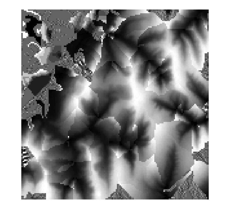
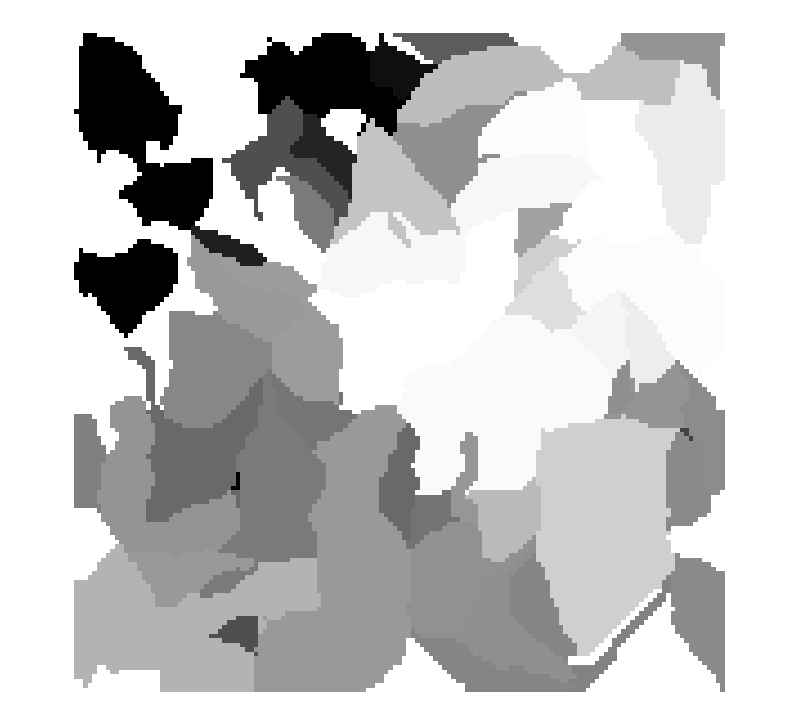
Input Data - Elevation
COMMAND
Command Call window with with stream threshold set to 25 cells
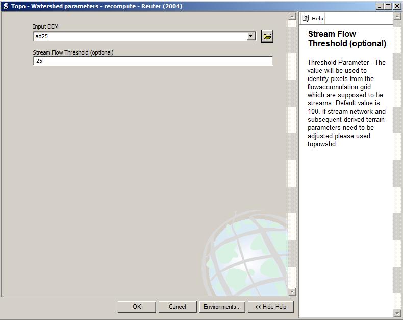
Threshold Parameter - The value will be used to identify pixels from the flowaccumulation grid which are supposed to be streams. Default value is 100. If stream network and subsequent derived terrain parameters need to be adjusted please used topowshd.
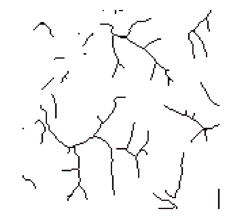
RESULTS
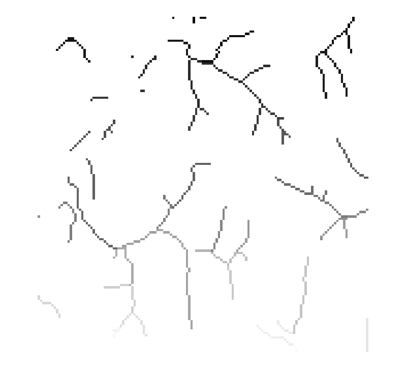
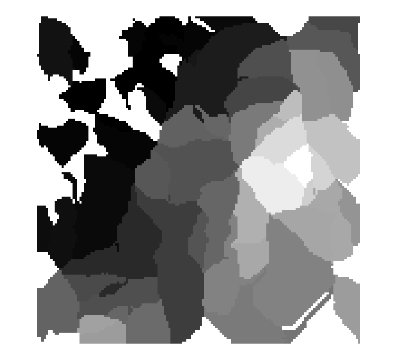
Stream network
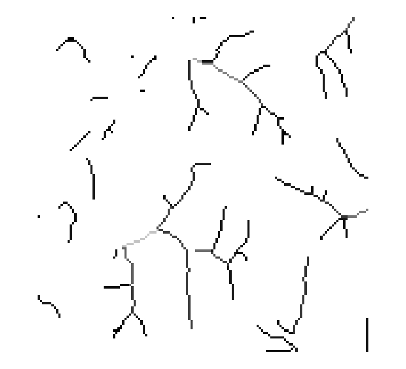
Stream link network
Stream order

Stream Max Elevation
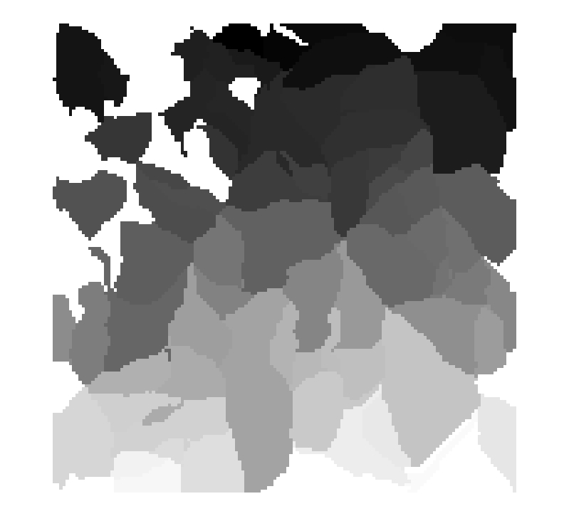
Unique Watershed Id
Watershed area
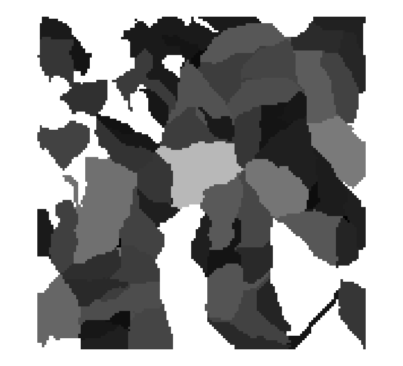
Watershed Maximum Elevation
Watershed Minimum Elevation
Percentile as percentage of elevation range within Watershed